Contact


Evaluation of the impact of geoharzards for urban areas, developing products and validation for the Civil Protection
The ICGC participates in the U-Geohaz project, developing new products for the prevention of geological risks and the validation of their potentialities through their implementation by the Civil Protection Authorities (CPA) involved. These new products, which will be compatible with the INSPIRE Directive and will be developed following the recommendations of the SENDAI Framework for Disaster Reduction, will allow to monitor the deformations of the terrain associated with geological risks. Monitoring is a key point for the prevention and reduction of the risk caused by these types of phenomena, especially in urban areas or with critical infrastructures.
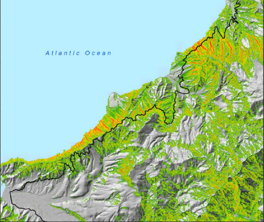
The U-Geohaz project aims, through maps, to evaluate and communicate, continuously, the possible impact on the geohazards activity. Through the maps, it is also intended to issue early alerts and warnings of potential instability in the monitored areas. The project starts with the results obtained in the previous SAFETY project with the novelty that the maps will be updated almost in real time with the objective of monitoring the geohazards activity. These maps will be a key tool for support for early warning systems (EWS) for landslides, block falls, and risks associated with volcanic activity. The applicability of the products obtained in two pilot zones located in the Canary Islands (Spain), for volcanoes and block falls, and in the Aosta Valley (Italy), will be validated for landslides.
The project will include a review of the relationship between the geological surveys of the EU and the respective CPA, with the objective of contributing to improve their collaborations. This task will be relevant to fill a vacuum detected during the SAFETY project, where CPAs have shown a high interest in the developed products, but a low capacity to produce it.
Definició de llindars de pluja (Illes Canàries)
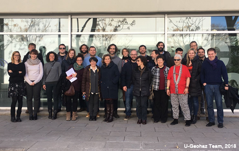
U-Geohaz at a glance
- Title: integrated Geohazards impact assessment for urban areas U-Geohaz
- Instrument: European Commission, Directorate-General for European Civil Protection and Humanitarian Aid Operations (DG ECHO). Unit A/4 – Civil Protection Policy. Union Civil Protection Mechanism
- Funds: 990.602,31 €
- CE funds: 742.951,73 €
- Duration: 24 months
- Start date: January 1, 2018
- Finish date: November 31, 2019
- Consortium: 19 partners from 14 countries
- Coordination: Centre Tecnològic i Telecomunicacions de Catalunya
- Website: U-Geohaz
- Program: Project funded by the EU [UCPM-2017-PP-AG: UCPM-783169]