
 Contact

Key features
- Resolution: 2 m.
- Covering all Catalonia in differents dates (between 2008 and 2011).
- Maps derived from lidar data.


Terrain Elevations Map - MET
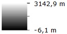
This map corresponds to the elevations model obtained from lidar data.
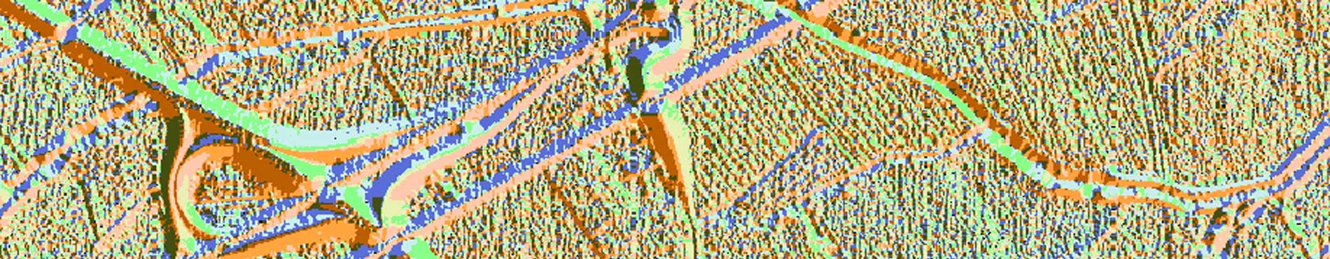
Orientation Map (º) - ORI
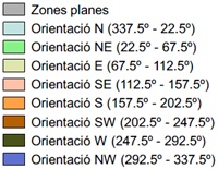
This map provides the orientation values measured from 0º to 360º, clockwise from the North.
Shadows map - OMB

It is the map where, given the Sun localisation, its projection over the MET surface is calculated, taking into account the Sun elevation in relation to the horizon at 45º and the azimuth angle from which the Sun lights up the scene at 315º. The lighting value is represented in a grey scale from 0 black to 254 white.
Null values (-9999)
They correspond to pixels in which the variable value could not be determined. They are represented in black colour. In the shadows map, null values are 0.
