Introduction
In the first Workshop on Cartography and Hiking, which took place in the ICGC headquarters in May 2004, organised by the Institut, Geoestel and Editorial Alpina, the ICGC undertook to calculate the real height of the most important summits in Catalonia, following the concerns expressed during the conference.
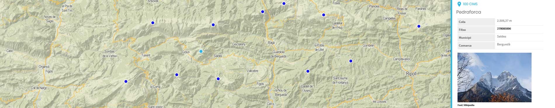
The ICGC collected a selection of the most emblematic summits in Catalonia, taking into account their geographic significance, their relevance in the world of hiking, and cultural, historical or emotional importance. The list, therefore, included all kinds of summits, regardless of their height, so long as they were inside Catalonia's administration. Taking into account the criteria established for the selection, the list was processed by the Federation of Hiking Entities of Catalonia, the Institute of Catalan Studies and the General Department of Tourism, who made comments and suggestions.
How the measurements were made
To determine the new height of each summit, the following procedure was used.
First, a survey marker was placed in a stable point, either a rocky substratum or a building close to the summit. The survey marker was anchored by drilling with a climbing device and fixing the marker in the hole, using special epoxy resin adhesive. These markers were integrated into the environment and are only visible from above, always showing the inscriptions and the points' codes clearly.
Afterwards, the height (ellipsoidal) of the marker was measured by GPS. Whenever the measurement conditions have enabled it, the RTKAT real-time differential correction system was used, observing each point at least four different times (placing the device again each time) at least at 20-minute intervals between observations. In other cases, 2 static GPS observations of at least 20 minutes were carried out. The accuracy that was looked for was 7 cm on the vertical component. In fact, the accuracy of the measurement was determined after calculating the mean of all the observations and it is 10 cm on the vertical component and 5 cm on the horizontal.
As the CATNET service is part of the ETRS89 reference system, and so, the obtained heights are ellipsoidal, the undulation of the N geoid associated to each point was calculated, interpolating "by bilinear interpolation" the geoid model EGM2008D595, in order to determine the height of the marker compared to the height datum of Alicante (and consequently, of the summit).
Finally, based on the survey marker, geometric levelling was carried out to determine the highest point of the summit, which imperatively had to be a natural stable point and it could not be an anthropic element (human construction) or a man-made pile of rocks, and the measured difference in height was added to the height of the survey marker.
So, it could be said that the orthometric height of the summit (H) was calculated as follows: H = (eh - N) + dH, where eh is the ellipsoidal height of the marker, N is the undulation of the geoid in the marker's position, and dH is the different in height between the marker and the highest point of the summit.

 Contact