


Geoindex - Geological hazards
Map for the prevention of geological risks and hazard studies of areas evaluated with preliminary geological risk reports
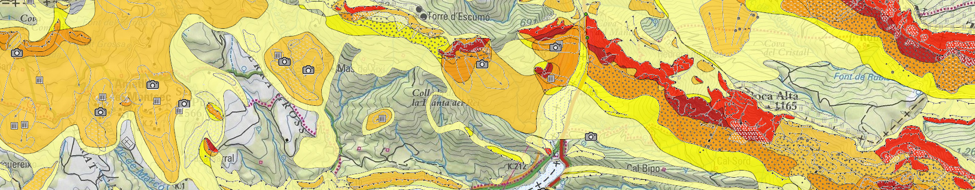
The Geoindex Geological Harzards viewer incorporates data from the Geowork VI Map for the Prevention of Geological Risks (MPRG25M) and its complementary information.
The MPRG25M zones the territory by hazard or multi-hazard classes by making an inventory of the different inventoried phenomena represented cartographically with polygons and lines: landslides, landslides, torrential flows, collapses, flood zones, and other indications of activity. Finally, the historical evidence reported in documentary sources is represented.
The complementary information of the MPRG25M comes from the carrying out of geological risk identification studies for the General Directorate of Urban Planning (mainly ground movements, dejection cones and associated cumulative and/or erosive processes, identification of vulnerable aquifers and avalanches, among others), inventories of rural agents (232 files), observed ground movements (828 files) and photographs (1216). Finally, the historical evidence reported in documentary sources is represented.
Legend of the Geoindex viewer Geological risks [269 kB, Catalan]
Last update
- Date: September 2022.