


Geoindex - GeoERA MUSE Project
Viewing and downloading the information layers generated in the GeoERA MUSE project
The MUSE - Management Urban Shallow Geothermal Energy (2018-2021) project was approved by the GeoERA H2020 Era-Net consortium (Establishing the European Geological Surveys Research Area to deliver a Geological Service for Europe), researches and evaluates surface geothermal resources and possible conflicts of use associated with urban and peri-urban areas and provides key geoscientific data through the EGDI (European Geological Data Infrastructure) information platform.
The ICGC, which was part of the consortium formed by sixteen European geological organizations and services, developed the project on a pilot area that includes the municipalities of Girona, Salt and Vilablareix, among others.
The Geoindex viewer - GeoERA MUSE Project, shows the 26 information layers resulting from the application of the project in this area structured in the following five main information sets:
- Study area.
- Geothermal station network.
- Geology and aquifers.
- Thermal parameters of the subsoil.
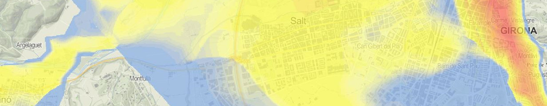
- Geothermal potential.
The user can also download a ZIP file that contains the information and symbolization files of each of the information layers in compatible format “ESRI Shapefile” (shp) and “GeoTIFF - Tagged Image File Format” (tif) compatible with the ArcGIS/ArcMap Desktop v10.0 and QGIS software.