
 Contact


FARMSTAR campaigns (2003-2019) / CASI campaigns (2000-2002)
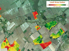
Annual flight campaigns with hyperspectral sensors (CASI and, since 2015, AISA Eagle) over France, to capture images and to process data for the monitoring of agronomic zones, with the aim of providing information to farmers that allows them the optimization of resources and crops.
This project has been carried out by the ICGC (former, ICC) with Airbus DS GEO SGSA (since 2015), Infoterra Servicios de Geoinformación SA (2008-2014), Infoterra-France (2006-2007), Astrium-France (2001 -2005), Centre National d’Études Spatiales (2001) and Matra Marconi (2000).
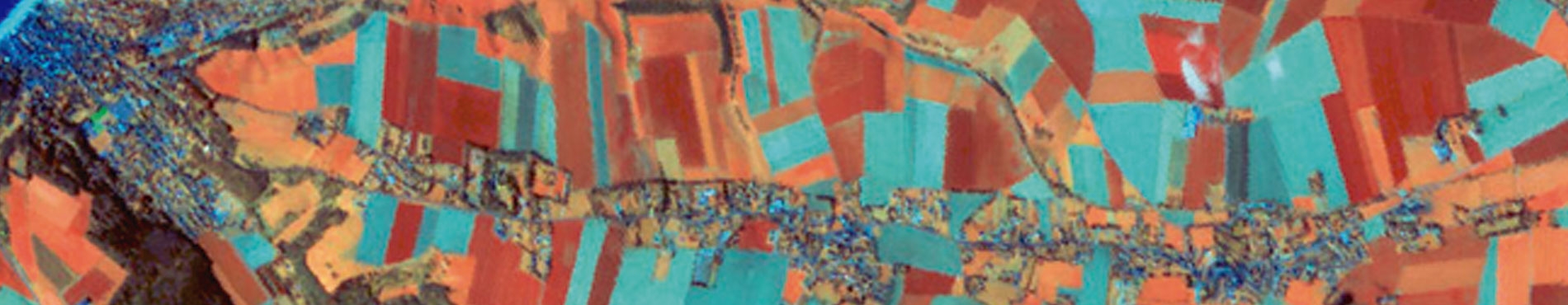
CASI data for the southwest of France (2002)
Accomplishment, performed by the ICC, of four multispectral flights, with the CASI sensor, between the months of June and September, over the southwest of France and the process of radiometric and geometric corrections. The aim was to apply the techniques already developed for the wheat to other crops and specially to corn.
Institut Cartogràfic de Catalunya (ICC).
Financed by: GEOSYS-France, France.
