
 Contact

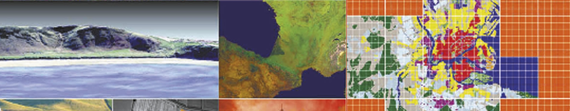


Control and management of land and vegetation cover (GEOLAND) (2004-2006)
The aim of this project was to develop products and services on geoinformation to support the GMES (Global Monitoring of Environment and Security) Subprogram. Specifically, the GEOLAND products and services were oriented to the control and the management of the land cover and vegetation, and were designed so that they assure the sustainability, the accessibility, the confidence and the economic efficiency that the public organisms in charge of the environment management need.
The main task of the ICC in this project was to analyze the necessities of the end users of the Spanish state and to present them the systems developed to European level manage the land uses and the vegetation to know if they address their necessities.
Institut Cartogràfic de Catalunya (ICC) and 56 partners of 14 European countries.
Financed by: VI Program Frame of the European Union (Global Monitoring of Environment and Security Subprogram - GMES).
Agricultural statistics project (1990-1992)
The aim of the project was to learn of the use being made of agriculture through agricultural and land occupation statistics about the main uses of land throughout Catalonia. The project was completed in the following stages: field work by the investigators who interpreted the plots of ground and drew the contours and codes on orthophotographs on a scale of 1:5,000, digitalisation of the orthophotographs and integration of the data produced by the investigation into the information system, extrapolation of the results and completion of the report, classification of the territory on the basis of satellite images and estimation of areas by regression of the field data and satellite data. The final result was a list of area occupation according to the land uses defined for the regions, provinces and the whole of Catalonia.
Institut Cartogràfic de Catalunya (ICC) and other participating institutions: Departament d'Agricultura, Ramaderia i Pesca (DARP) of the Generalitat de Catalunya, Barcelona, Spain.
Financed by: European Union; Departament d'Agricultura, Ramaderia i Pesca (DARP) of the Generalitat de Catalunya, Barcelona, Spain.
CORINE. Land Cover (1990-1993)
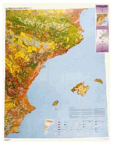
The aim of this project was to produce and print a land occupation map in accordance with the legend of types and uses of land of the CORINE Land Cover project, based on the visual interpretation of images from the Thematic Mapper (TM) sensor on board the Landsat-5 satellite and on field information. With a legend of 64 categories and a minimum area of 25 ha, it was aimed to map a study area that covered approximately one quarter of Spain, corresponding to the eastern peninsula and the Balearic Isles. This project was completed within the framework of an agreement with the Instituto Geográfico Nacional of Spain.
CORINE is an experimental programme proposed by the European Commission and approved by the European Council to catalogue, co-ordinate and assess information about the condition of the environment and natural resources within the Community. Land Cover is one of the projects in the programme and constitutes the base of information about the biophysical occupation of the land. Using this data, two maps of Catalonia have been published on a scale of 1:250,000 with the European (44 categories) and Spanish (64 categories) legends, and one map has been published of the east of the Iberian peninsula on a scale of 1:500,000 (42 categories).
Financed by: Directorate General XI for Environment, Nuclear Safety and Civil Protection de la Unión Europea; Ministerio de Obras Públicas y Urbanismo (MOPU), Madrid, Spain.
