Layers available
Nowadays all survey points of the Utilitarian Network have a card, and then old layers 0 and 1 have been fused (old layer 0 and layer 1 = current layer 0; old layer 2 = current layer 1).
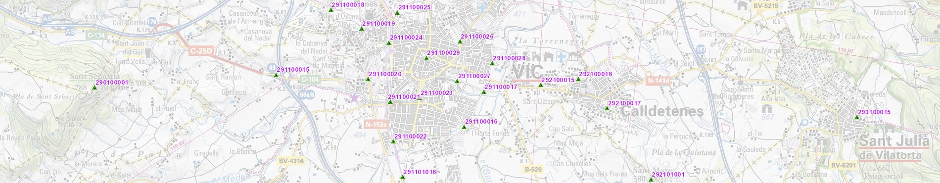
Otherwise, survey points with cards only in ED50 are shown in cyan, survey points with cards only in ETRS89 are shown in green, and survey points with cards in both reference systems (ED50 and ETRS89) are shown in magenta.
Layer | Layer name | Range of scales |
|---|
Survey points | 0 | All scales |
Identification codes of the survey points | 1 | 1:1 | 1:50.000 |
Request example
https://geoserveis.icgc.cat/icc_vertexs/wms/service?REQUEST=GetMap&VERSION=1.1.1&SERVICE=WMS&SRS=EPSG:25831&BBOX=405039.40,4576000.19,427647.51,4598000.29&WIDTH=520&HEIGHT=520&LAYERS=0,1&STYLES=&FORMAT=jpeg&BGCOLOR=0xFFFFFF&TRANSPARENT=TRUE&EXCEPTION=INIMAGE

 Contact