Alternatives
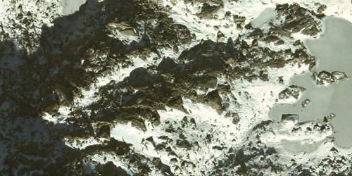
In terms of snow thickness, specific measurements can be made, but over large areas of land it would be inefficient. In addition, this technique implies an extrapolation with results that are usually not very precise due to the morphological characteristics of the snow.
A more efficient solution would be to fly the area when there is no snow, to have the reference terrain (thickness 0), and later when there is snow, in order to calculate the difference.
Obtaining the relief without snow could be done by photogrammetric restitution, but this technique cannot be used with snowy surfaces because they do not allow stereoscopic vision.
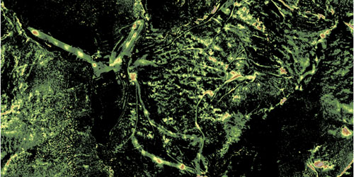
With LiDAR, they directly acquire points on the surface, snowfall or not, saving the problem of restitution, without compromising resolution or precision, and speeding up the calculation of the differences in question.
In any case, aerial photography should not be neglected to delimit snowy areas.
Solution description
Although it can be done only with LiDAR, the ICGC usually performs a combined flight with a digital camera to improve the results (due to redundancy). In any case, the flight is planned to achieve at least 1 point / m2 and 15 cm of precision in height. From these flights (with and without snow) the respective Digital Elevation Models (DEM) are generated, and they simply remain, obtaining a difference model corresponding to the thickness of snow.
To guarantee the reliability of the figures, the resulting model is reviewed with the aerial photos, discriminating those differences in height that are not due to accumulations of snow (changes in the territory). Those areas where extremely high snow thicknesses have been detected are also analyzed, discarding those that coincide with constructions to be erroneous (this is a technical effect).
In addition to the distribution and thickness of snow, calculating the volume of water also requires knowing the density of the snow. For this purpose, the ICGC performs specific measurements using specially designed probes, and subsequently the density model is created using statistical methods (little spatial variability).
Once the different parameters are available, the Snow Water Equivalent (SWE) can be calculated and different fusion models applied to incorporate the data into an Automatic Hydrogeological Alert System (SAIH).
Additionally, when calculating water reserves, the hydrographic basins must be considered for their management: not all the water goes to the same basin. In this sense, if it is not available, the ICGC creates a DEM also from LiDAR flights, and even obtains specific data for the calculation of hydrological and hydraulic models that allow a more exhaustive knowledge of the water cycle.
Articles
- I. Moreno et al., International Snow Science Workshop 2009.
- A. Ruiz et al., 3a Jornada Tècnica de neu i allaus, 2008.
Fulfilled projects
- Study of water resources in the Núria Valley.
Related applications

 Contact