Contact


1:25,000 scale Catalog
Title | Edition | Year | Download | Download | e-Shop | Miniature |
|---|---|---|---|---|---|---|
la Bisbal d'Empordà 334-2-1 (78-25) Palafrugell 335-1-1 (79-25) | 1 | 2016 |  | |||
Cassà de la Selva 334-1-2 (77-26) | 1 | 2017 | - |  | ||
Castellar del Vallès 392-2-1 (72-29) | 1 | 2012 | 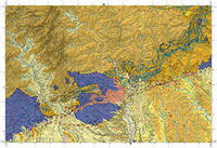 | |||
Castelló d'Empúries 258-2-1 (78-21) | 1 | 2013 | 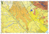 | |||
Cornellà del Terri 296-1-1 (77-23) | 1 | 2015 | 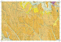 | |||
l'Escala 296-2-1 (78-23) Cala Montgó 297-1-1 (79-23) | 1 | 2014 | 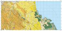 | |||
l'Estartit 297-1-2 (79-24) | 1 | 2011 | 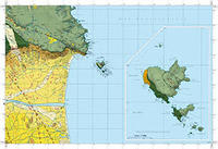 | |||
Figueres 258-1-1 (77-21) | 1 | 2013 |  | |||
Girona 334-1-1 (77-25) | 1 | 2015 |  | |||
Granollers 393-1-1 (73-29) | 1 | 2012 |  | |||
Isona 290-2-1 (66-23) | 1 | 2016 |  | |||
Llancà 221-1-2 (79-20) | 1 | 2013 |  | |||
Llimiana 290-1-2 (65-24) | 1 | 2016 |  | |||
Manresa 363-1-2 (71-28) | 1 | 2017 | - |  | ||
Mollet del Vallès 393-1-2 (73-30) | 1 | 2011 |  | |||
Monistrol de Montserrat 392-1-1 (71-29) | 1 | 2012 |  | |||
Navata 258-1-2 (77-22) | 1 | 2014 |  | |||
Olesa de Montserrat 392-1-2 (71-30) | 1 | 2012 |  | |||
Palamós 334-2-2 (78-26) Calella de Palafrugell 335-1-2 (79-26) | 1 | 2018 | - | 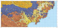 | ||
Roses 259-1-1 (79-21) Cap de Creus 259-2-1 (80-21) Far de Roses 259-1-2 (79-22) | 1 | 2013 | 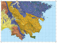 | |||
Sabadell 392-2-2 (72-30) | 1 | 2011 | 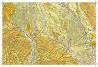 | |||
Salt 333-2-1 (76-25) | 1 | 2015 | 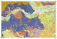 | |||
Sant Llorenç Savall 363-2-2 (72-28) | 1 | 2017 | - |  | ||
Sant Pere Pescador 258-2-2 (78-22) | 1 | 2015 |  | |||
Sant Salvador de Toló 290-2-2 (66-24) | 1 | 2016 |  | |||
Santa Coloma de Farners 333-2-2 (76-26) | 1 | 2016 |  | |||
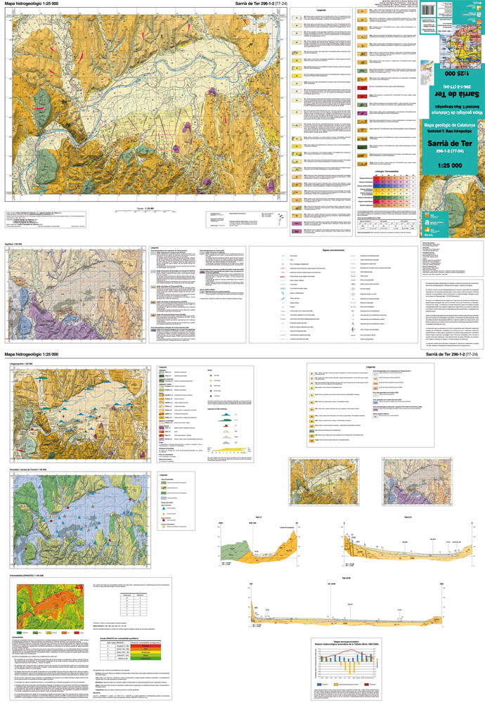
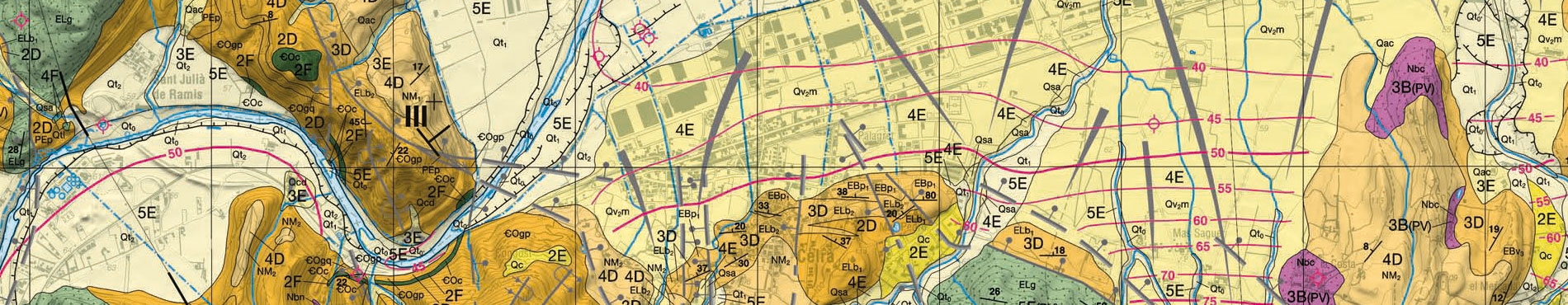
Sarrià de Ter 296-1-2 (77-24) | 1 | 2010 |  | |||
Torroella de Montgrí 296-2-2 (78-24) | 1 | 2011 |  | |||
Vidreres 365-2-1 (76-27) | 1 | 2017 | - |  | ||
Vilamitjana 290-1-1 (65-23) | 1 | 2016 |  |
GT V. Hydrogeological map 1:25,000. Project deployment
![]()
More info