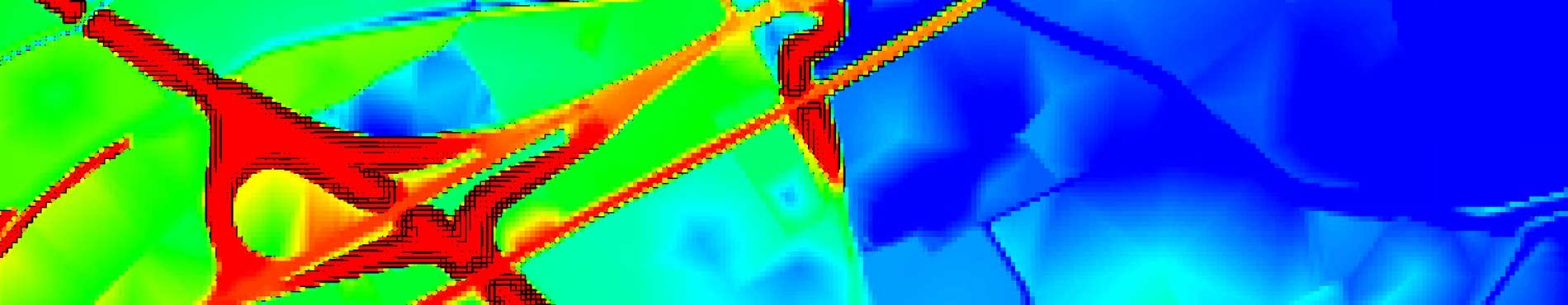
• Imprimeix

5x5 m Terrain elevation model

Key features

ISO 9001:2015. Producció de la Base Topogràfica de Catalunya 1:5000 i producció i distribució del Referencial Topogràfic Territorial de Catalunya i del Model Digital del Terreny. Producció i distribució de l’Ortofoto Territorial de Catalunya


  • 5x5 m regular grid model.
  • Orthometric height.
  • Based on the altimetric information of the topographic base of Catalonia 1:5.000 version 2 (BT-5M v2.0) that includes profiles, altimetric coordinates, breaklines and contour lines, all of them obtained from the terrain.
  • Estimated altimetric accuracy: 0.90 m mean square error.
Download MET5

Access the application to download a ZIP file with all the sheets included in the area you select

Metadata

Dates, specifications and other informations

Connector QGIS Open ICGC

Toolbar that allows direct and quick access to ICGC geoinformation

You can also obtain heights from this model, without downloading, on your applications compatible with the WCS protocol.

Logo CC BY 4.0
This geoinformation is under the Creative Commons Attribution 4.0 International license.
More info