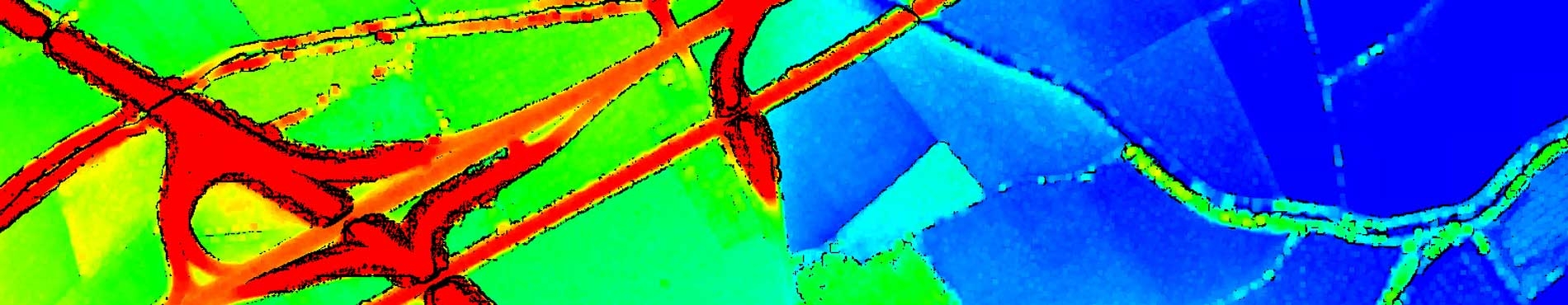
Key features1x1 m regular net modelIt contains orthometric heightsBased on LiDAR data, except the Tordera and the Llobregat river basins which were made by photogrammetric means Data obtained in 2001 and 2006 Estimated altimetric accuracy: quadratic mean error of 0,15 meters


 Contact

