


Uncovering the geological secrets hidden in beach sand
The sand we walk on, the shape of the beaches, the dunes, and the changes after a storm are all the result of the interaction between natural processes and human activity. Understanding these processes helps us understand how the coastline functions and evolves.
At the ICGC (Catalan Institute of Geological and Geophysical Sciences), we generate and analyze detailed information about the Catalan coast, much of which can be accessed through our viewers and applications.
A Coast in Motion
Beach sand comes primarily from sediments carried by rivers to the sea. Waves and ocean currents redistribute these sediments along the coast.
Beaches are dynamic systems that change over time. The viewers of the Coastal Geomorphology and Beach evolution allow you to observe these changes and the forms of the coastal relief.
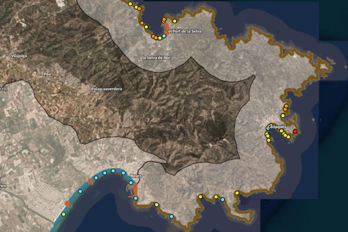
Visualization of Cap de Creus using the Coastal Geomorphology Viewer.
The beach also continues underwater: its shape, depth, and slope influence wave behavior and sediment movement. The Coastal Viewer allows you to visualize the submerged portion of the coast.
Dunes and storms
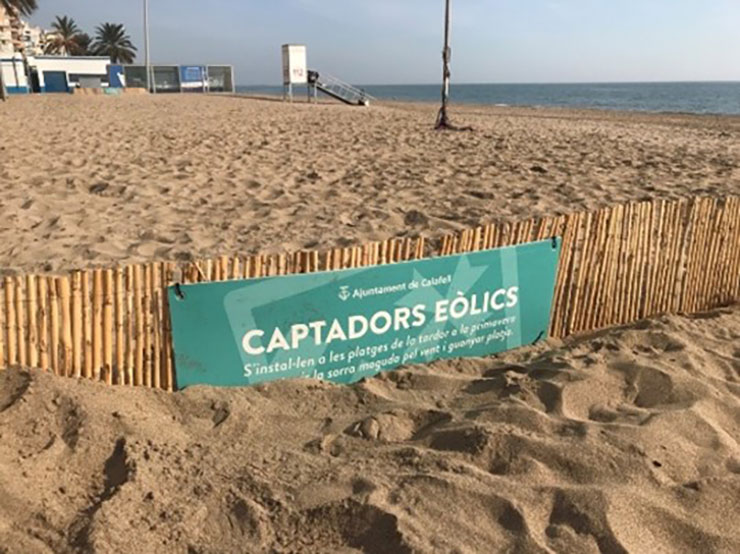
Dune restoration in Calafell.
Dunes are an essential part of the coastal system. They act as a sand reservoir, contribute to the natural protection of the coast, and constitute habitats of high ecological value. Therefore, their conservation is essential.
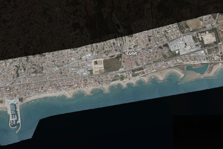
Cunit - Storm Nelson (March-April 2024). View of the coast after the storm using the Coastal Comparator Viewer.
Storms can displace large quantities of sand and affect frontline infrastructure.
The Coastal Comparator allows you to observe these changes before and after different events, while the Storm impact viewer shows the affected areas.
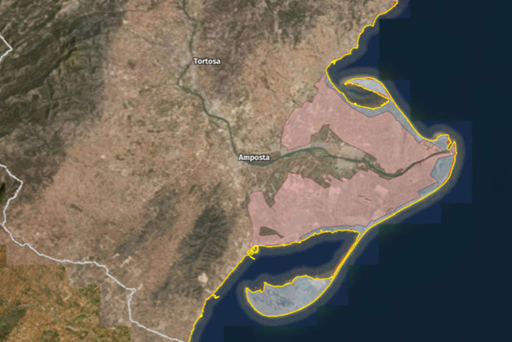
Visualization of the Ebro Delta using the Storm Impact Viewer.
How is the coastline changing?
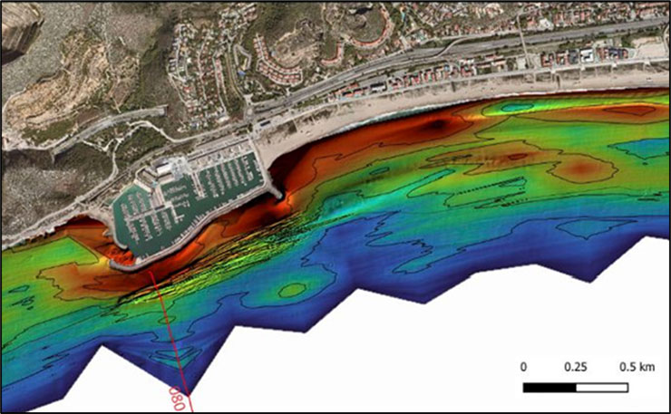
Effect of Port Ginesta on coastal dynamics. A greater accumulation of sediments (reddish colors) is observed to the east of the port.
The evolution of beaches depends on natural factors and human activity. Ports and breakwaters have altered sediment transport, coastal urbanization has contributed to the degradation of dune systems, and dams have retained some of the sediment that rivers carry to the sea.
Added to these factors is the rise in sea level, which increases the vulnerability of the lowest-lying coastal areas.
The Permanent flooding due to sea level rise, Coastal hazard and Coastal subsidence viewers allow users to study these processes and their potential effects.
With the Eye of Time. Catalonia Then and Now we can also compare the appearance of the territory at different times and observe how the coastline has changed.