


Achieving centimeter-level precision with the CatNet network
At the ICGC, we have achieved centimeter-level precision using the CatNet network, which allows us to provide corrections for navigation satellite signals and significantly improve positioning accuracy.
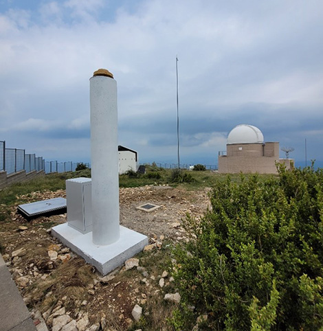
"ARES" permanent station of the CatNet network, located at the Montsec Observatory facilities.
As part of the RTKAT service -integrated into Catalonia’s Integrated Geodetic Positioning Service (SPGIC)- we process data captured by CatNet’s permanent stations in real time and generate the corrections needed for high-precision positioning. The network comprises seventeen stations distributed across Catalonia, complemented by fifteen stations in neighboring territories.
Centimeter-level positioning is particularly useful in fields such as precision agriculture, surveying, ground movement monitoring, and infrastructure construction. It is also crucial for emerging applications like autonomous vehicles, professional drones, mobile robotics, and digital twins of the territory.
We have been offering real-time positioning services based on the CatNet network for twenty years—and post-processing services for over thirty—and we continue to evolve this public infrastructure to adapt it to new satellite navigation systems and user needs.
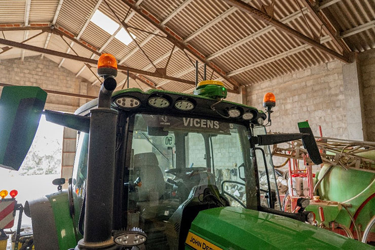
Tractor with GNSS antenna for precision agriculture.
Link of interest
- SPGIC - Servei de Posicionament Geodèsic Integrat de Catalunya: https://catnet-ip.icgc.cat/spgic/ca/.