


Colloquium "Cartografia, delimitació i geopolítica a Espanya (s. XVII-XIX)"
When
From 21.01.2027 to 22.01.2027
Thursday, January 21st, and Friday, January 22nd, 2027
Where
Institut Cartogràfic i Geològic de Catalunya
Parc de Montjuïc
08038 Barcelona
The previous colloquia organized by the Cartography History Research Group (GEHC), always with the full support of the Institut Cartogràfic i Geològic de Catalunya (ICGC), explored urban cartography from a variety of perspectives. On this occasion, our focus is on political cartography, namely the mapping produced in connection with territorial organization and the delimitation of borders.
The aim of this new colloquium is to uncover, study and disseminate the cartographic heritage associated with a broad range of thematic maps, particularly those whose primary purpose is to represent administrative divisions at different scales (regional, provincial, county and municipal). The representation of borders between states, an essential instrument in the assertion of national sovereignty, will also constitute a major subject of study.
The chronological scope of the papers focuses primarily on the eighteenth and nineteenth centuries, while also accommodating some contributions dealing with slightly earlier or later periods.
The works presented concern mainly, on the one hand, Catalonia and the Eastern Pyrenees and, on the other, Spain as a whole or some of its provinces, together with several studies relating to the former Spanish colonial territories.
This colloquium serves as the concluding event of the research project bearing the same title, which has resulted in significant publications on the cartographic representation of the regions of the Iberian Peninsula, the map of Catalonia produced by the Milanese engineer A. Borsano (1687), the diocesan maps of Spain, and the municipal boundaries of Barcelona and its formerly independent neighboring towns, among other topics.
Program: subject to confirmation
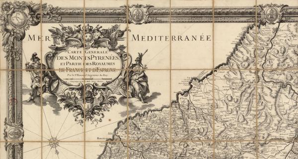
Detail of the Carte generale des Monts Pyrénees, et partie des royaumes de France et d'Espagne de Roussel i La Blottière, 1730 (RC.6976/9, ICGC)