


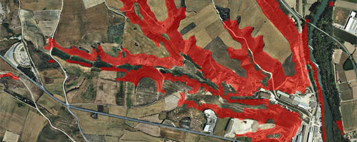
Map of slopes greater than 20%
The slope map >20% is based on the information of the Topographic Base of Catalonia 1: 5,000 (2023) with the objective of facilitating regulatory support for urban planning.
This cartography can also be used online in your applications if compatible with WMS.

| Geoinformation from the Cartographic and Geological Institute of Catalonia subject to a Creative Commons Attribution 4.0 International license (CC BY 4.0). More information. |