Cartographic geoinformation
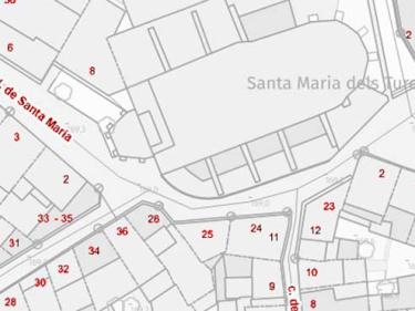
Set of tables that contain the information necessary to identify an address in a simplified way

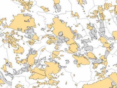
Population areas of the Geographical Names Database of Catalonia and Nomenclature of Municipalities and Population Entities, and the polygons that appear in the Economic Activity Polygon Information System

Geographic base of decentralized municipal entities derived from the delimitation files of the entities and the municipalities to which they belong, and from reference cartographic sources

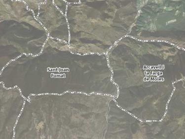
Hybrid pyramid (orthophoto + linear elements of the topographic base + place names) in MBTiles format

Boundaries of municipalities, counties, vegueries, provinces and Catalonia. Capitals of the municipalities, counties and provinces are also included

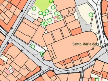
High-resolution cartographic information on the types of landcover in Catalonia such as built-up areas, agricultural areas, forests, bodies of water...

Toponyms (place names) present in the ICGC cartography, with the coordinates of the point where they are located


