• Imprimeix

ortoXpres

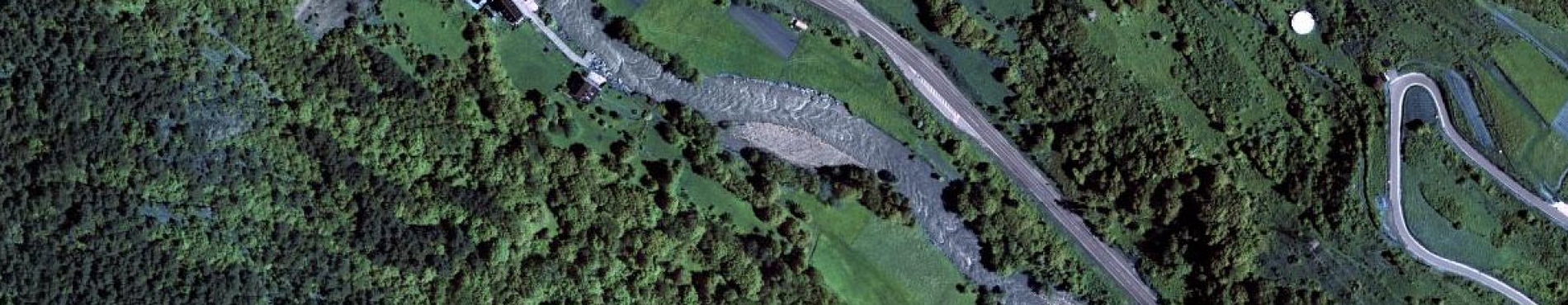
Immediate mosaic of aerial photographs

ortoXpres is a service that allows the visualization of provisional orthophotos, created by a fast orthorectification of photos using a terrain elevations model, and also the visualization in stereoscopic 3D (anaglyph) of the two photos covering the area requested by the user, requiring this last option specific glasses (anaglyph).

As the orthorectification of the images and the creation of the anaglyph view are based in a single photo (that where the information requested by the user is most centered), the corresponding visualization will be done only from that zoom levels where the information requested has the same size or smaller than this photo. In higher zoom levels, the service displays topographic maps with the distribution of the photos available.

WMS ortoXpres

This geoinformation can be used online in your applications supporting the WMS protocol

Limitations and quality

The main limitation of ortoXpres is the speed of the service, inherent to its philosophy: the service chooses continuously the photo where the information is most centered and applies a fast orthorectification when serves the data; for this reason, the information is not prepared before and each request implies an important process time that affects, obviously, the final speed.

Another limitation, related with the aforementioned, is that the fast orthophoto and the anaglyph view are not shown up to zoom levels close to the real resolution of the images, as the information is built from the photo that contains the information requested and where it is most centered.

It has to be remarked that the information served corresponds to a fast orthorectification of the individual photos using a grid terrain elevations model without taking into account infrastructures (bridges, road junctions...) and without applying any individual nor joint radiometric improvement. Then, it has not the same geometric nor radiometric quality of the final orthophoto published by the ICGC.

One of the most significant effects produced in raised infrastructures (bridges over rivers, road junctions) is the deformation of these elements to fit the terrain relief. Then, there may happen cases as a road over a river that is not straight and raised but curved fitting the river shore.


Logo CC BY 4.0
This cartography is under the Creative Commons Attribution 4.0 International license.
More info